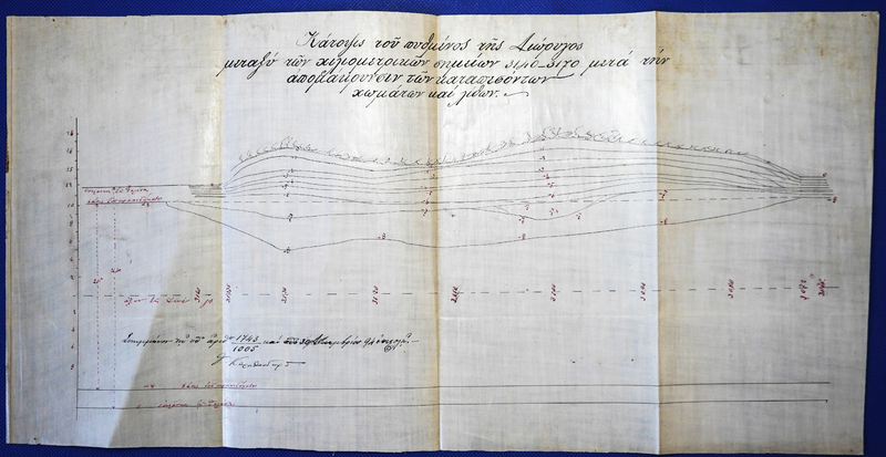
Plan of the bottom of the Canal between kilometer points 3140-3170 after the removal of fallen soil and stones.
- Title
- Plan of the bottom of the Canal between kilometer points 3140-3170 after the removal of fallen soil and stones.
- Description
- Plan of the bottom of the Canal between kilometer points 3140-3170 after the removal of fallen soil and stones.
- is identified by
- ΜCC480
- forms part of
- Drawings and Maps
- has time-span
- 1894
- has type
- Drawing
- has current location
- A.E.DI.K. branch of Isthmia
- has current keeper
- A.E.DI.K.

